Lake
Valhalla Backpack
To prepare for the
50-miler scheduled for this summer, BSA unit 525 did an overnight
backpacking trip to Lake
Valhalla in the Mt.
Baker-Snoqualmie National Forest. This is a
beautiful setting that didn't really show us its best side.
The weather remained overcast, foggy, and drizzly the entire
time we were there. Unfortunately, we were also beat out of
the best campsites, so we had to settle for less enjoyable
accomodations. You can see exactly what I mean by taking a
look at the photo album here.
|
7/10/2015 Stevens Pass, WA |
 BSA 525 arrives at Lake Valhalla. |
GPS Info
We collected all of the following data from our GPS unit during the adventure:Maps
This Google Map is provided by GPS Visualizer
Elevation Profile
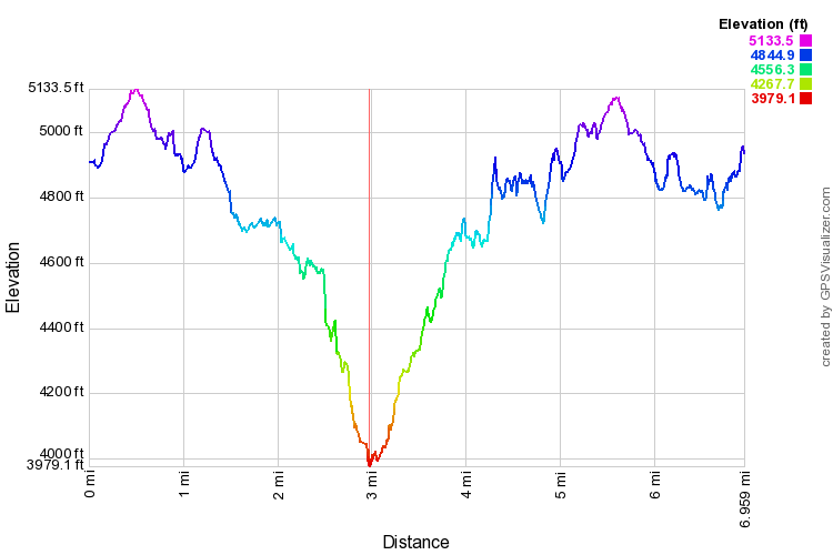
This profile is provided by GPS Visualizer
Coordinates and other details
|
7.0 Miles 5:10:19 (total), 3:29:17 (moving) 1.35 MPH (total), 1.99 MPH (moving) 47°48'08.1"N 121°04'36.6"W |
If you would like to use this info with your GPS unit, the full GPX file is here.
If you want to view this in Google Earth, you can download the KMZ files of the track and a topographic overlayplugin.